Laboratory of Cartography and Geoinformatics
The Department of Geography of the Aegean University has designed a workshop about:
– The presentation of the project 3DGeoHeritageMap: Identification, Validation and Monitoring with 3D mapping methods in the Management of Geological Heritage Monuments.
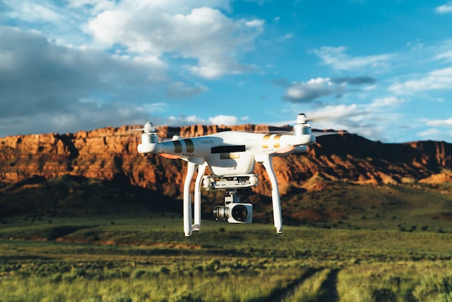
– The demonstration of the UAS, the presentation of different types of UAS and the sensors they carry for the 3D mapping of sites in the Geopark of Lesvos.
– The demonstration of Augmented Maps and the presentation of 3D models of geological sites using the technology of augmented maps.
The [3DGeoHeritageMap] project is funded by the Operational Programme “Competitiveness, Entrepreneurship & Innovation” (EPAnEK 2014-2020), co-funded by the European Union (European Regional Development Fund) and national resources.
The workshop will be held for the general public in a central location of Mytilene city (Sappho Square)
Organizer: Department of Geography
Run by Nikolaos Soulakellis


